Student Activities
The following activities are designed for Stage 1 Geography and support the outcome HS1-GEO-01. They give students different ways to explore Georges River Environmental Education Centre through photographs, maps, discussion and simple geographical tasks. Learning through a local place can help students connect classroom ideas with real environments while also building important geographical fieldwork skills (Lloyd, 2016; NSW Education Standards Authority, 2024).

Activity 1: Place Detectives – Natural or Human?
Students look closely at photographs taken around Georges River Environmental Education Centre and identify the features they can see. They then sort these features into two groups: natural and human-made. Natural features may include water, trees, vegetation and habitats, while human-made features may include pathways, buildings and outdoor learning spaces.
Students choose one feature from each group and explain why they placed it there. This gives them a chance to use geographical language, share their thinking and build confidence in describing what they notice in the environment (NSW Education Standards Authority, 2024).
Students who need extra support can use picture cards, word banks and sentence starters such as “I think this is a natural feature because…” Students who are ready for more challenge can explain how a human-made feature may influence the way people use the place.
Activity 2: Mapping the Water Environment
Students use a simple map of the site and surrounding area to locate important features such as the Georges River, Chipping Norton Lake, nearby parkland and the Environmental Education Centre. They add their own symbols to the map and create a simple key to show what each symbol means.
Students then describe where different features are located using words such as near, beside, left, right, north and south. This builds their confidence with maps while also linking to numeracy through position, direction and spatial awareness.
The Stage 1 Water Environments program uses both large- and small-scale picture maps to help students explore waterways and identify natural and human features, so this activity connects closely with learning already offered at the site (NSW Education Standards Authority, 2024; Water Environments Excursion, 2024).

Source: Georges River Environmental Education Centre (2025)
Activity 3: How Do People Use This Place?
Source: Georges River Environmental Education Centre (2025)
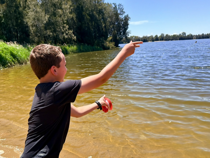
Students examine photographs of different parts of the water environment and discuss how people might use these spaces. Their ideas may include walking, fishing, learning, relaxing or spending time with family and friends.
The class then responds to the question:
“How would you like to use this place?”
Each student chooses one response, and the class records the answers using a simple tally chart or picture graph. Students then compare the results and discuss which choices were the most and least popular.
Through this discussion, students begin to see that people can use and value the same place in different ways. The activity also gives them experience collecting, representing and talking about geographical information while building early numeracy skills (NSW Education Standards Authority, 2024).

Source: Georges River Environmental Education Centre (2025)
Activity 4: Connections to Water Country and Place
Students explore age-appropriate information about Aboriginal and Torres Strait Islander connections to water Country and Place. The Water Environments program introduces students to traditional water connections and uses Sydney Aboriginal languages to describe water features. This helps students recognise that waterways can hold cultural importance as well as environmental and community value (Water Environments Excursion, 2024).
After a teacher-guided discussion, students complete the sentence:
“Water environments are important because…”
They can respond through a short written sentence, a labelled drawing or a combination of both. Students are encouraged to think about why different people may value water environments in different ways and to share their ideas respectfully (NSW Education Standards Authority, 2024).
Supporting Different Learners
The activities can be adjusted to suit different learning needs. Students who need additional support can use visual prompts, word banks, sentence starters, teacher modelling and guided practice before working more independently. The level of support can be changed depending on each student’s needs and gradually reduced as their confidence develops (Anderson, 2019).
Students who are ready for extension can compare several features, explain their choices in more detail or discuss how people and environments influence one another. Photographs, maps, discussion and hands-on tasks also give students different ways to take part in the learning and show what they understand.
Create Your Own Website With Webador